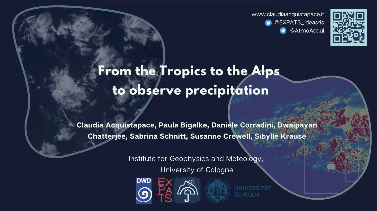
From the Tropics to the Alps to observe precipitation
ECMWF
2 July 2024
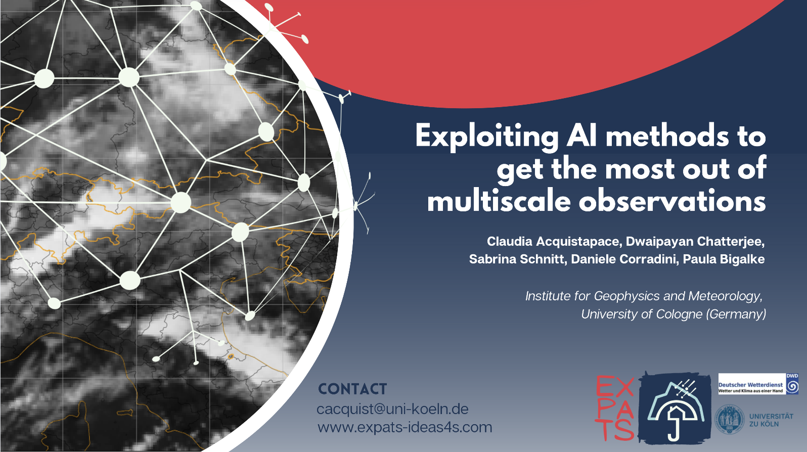
4th Workshop on cloud organization
9 July 2024,
ICPT, Trieste

ECMWF
2 July 2024
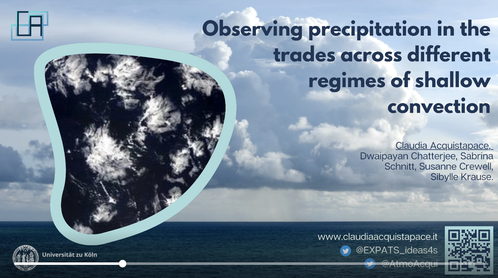
ICCP Journal Presentation
26 September 2024
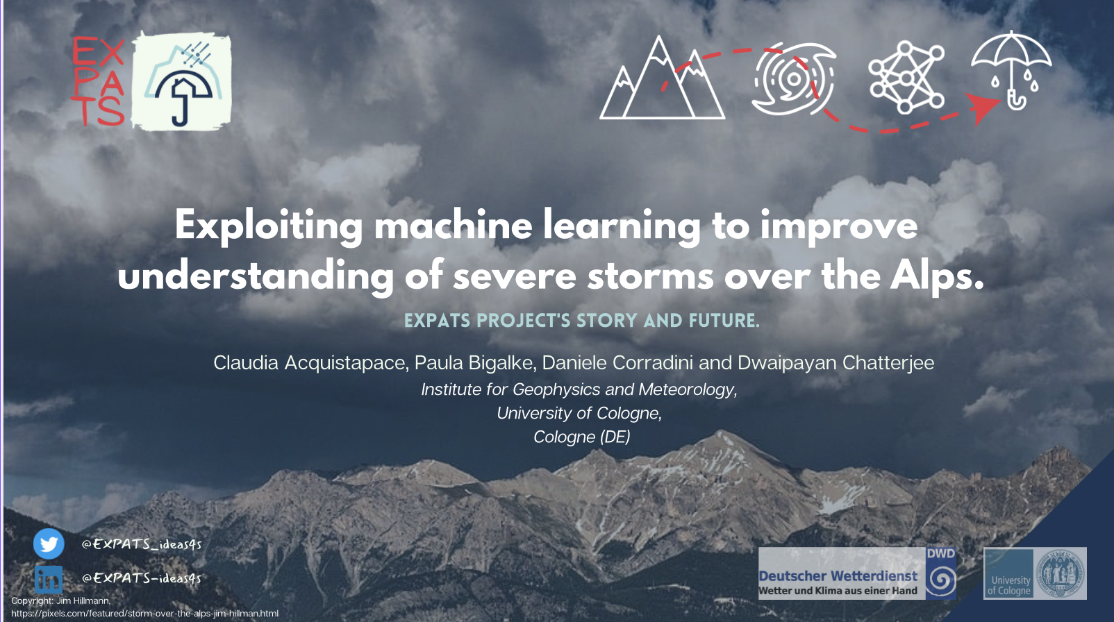
University of Trento
7 March 2024

GSGS invited talk, 12 May 2023

Environmental meteorology seminar, Trento, 25 May 2023.
Almost three years ago, just before the pandemic, the EUREC4A field campaign was taking place, deploying a wide array of observational platforms in and over the tropical Atlantic Ocean around Barbados. The significant scope of the campaign was quantifying macrophysical properties of trade-wind cumuli as a function of the large-scale environment and providing a reference data set that may build a benchmark for the modeling and the satellite observation of shallow clouds and circulation. In addition to these big research questions, the observations allow for investigating the trades' precipitation life cycle, including how precipitation relates to evaporation and cold pools. Today, a special issue on Earth System Science Data collects the datasets that have been produced, and more are still yet to come.
In this talk, we will go over the primary scientific outcomes from the EUREC4A campaign and discuss the latest research on mesoscale organization patterns as seen from satellites. We will also look at unique ship-based observations of clouds and rain. We will discuss how they interact with the ocean underneath and impact the atmospheric boundary layer humidity. Finally, we will discuss future challenges, still-open research questions, and opportunities for future studies.

28th General Assembly of the International Union of Geodesy and Geophysics (IUGG), 11-20 July 2023, Berlin, Germany
During the EUREC4A campaign, a synergy of ship-based remote sensing instruments deployed onboard the research vessel (RV) Maria S. Merian collected high-resolution observations of clouds, precipitation, and atmospheric boundary layer (ABL).
In this work, we exploit ship-based observations to statistically characterize clouds and precipitation properties by looking at specific observables collected during the campaign. We derive W-band radar moments statistics (CFADs), rain rate, and virga reflectivity profiles. We investigate temperature and humidity patterns in the ABL during rain and virga conditions. We also display the relation between the W-band radar reflectivity and the radar skewness, revealing insights into the precipitation onset.
We then connect the ship-based observations to recent machine learning (ML) self-supervised approaches used to analyze the cloud organization in the trades. With ship-based observations, we aim to describe the transition phase from one mesoscale organization to another, as identified in the multidimensional space of output provided by the ML computational model.
Invited talk: EUMETSAT, Darmstadt 14 October 2023
Målmo, Sweden, Eumesat conference, September 2023